Understanding Temperature Inversions: A Comprehensive Guide
The Science Behind Temperature Inversions Explained
A temperature inversion is a condition in the Earth's atmosphere where the normal vertical temperature gradient is reversed. Typically, temperature decreases with altitude, a phenomenon known as the environmental lapse rate. However, during an inversion, warmer air is found at higher altitudes, trapping cooler, denser air below. This trapped layer can significantly influence weather patterns and atmospheric conditions.
The temperature inversion definition highlights a critical deviation from standard atmospheric behavior. These inversions are not merely theoretical concepts; they have tangible effects on our environment and daily lives, influencing air quality, fog formation, and even aircraft flight conditions.
Common Types And How They Form
Temperature inversions can develop through various meteorological processes. Understanding these different types is key to anticipating their effects.
Surface-Based Radiation Inversions
Also known as nocturnal inversions, these are the most common type. They typically form on clear, calm nights when the ground cools rapidly through radiative heat loss. The air in contact with the ground cools by conduction, and the layer of air immediately above it remains relatively warmer. This creates a stable layer near the surface.
Frontal Inversions
Frontal inversions occur when a warm air mass overrides a cooler air mass along a weather front. As the warmer, less dense air is forced to ascend over the cooler, denser air, a temperature inversion is established at the boundary between the two air masses.
Subsidence Inversions
These inversions are associated with large areas of high atmospheric pressure. As air slowly sinks (subsides) from upper levels, it compresses and warms adiabatically. This warming creates a layer of warmer air above cooler surface air, effectively capping any vertical development.
Valley and Basin Cold-Pool Inversions
In mountainous terrain, cold, dense air can settle into valleys and basins overnight. This dense air cools significantly, while the slopes above are not as cold or may even experience warmer temperatures due to radiation. This traps cold air near the surface, creating a pronounced inversion.
Capping (Elevated) Inversions
These inversions exist above the surface and act as a lid on convective activity. They are often associated with subsidence and play a crucial role in limiting the vertical development of clouds, a phenomenon pilots frequently encounter.
Meteorological Consequences Of Temperature Inversions
The presence of a temperature inversion layer has profound effects on atmospheric behavior and can lead to several significant meteorological consequences.
Stability and the Cumulus “Lid”
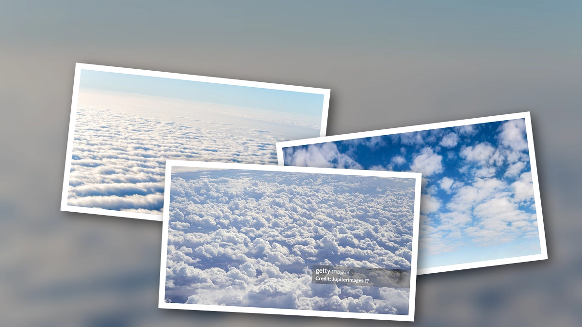
Inversions create extremely stable atmospheric conditions. The warmer air aloft acts as a cap, preventing cooler air below from rising. This stability suppresses vertical cloud development, leading to what is often called a cumulus 'lid'. Cumuliform clouds may form but are prevented from growing into larger storm systems.
Trapped Moisture, Smoke, and Pollutants
Due to the stable nature of inversions, pollutants emitted near the surface, such as smoke, dust, and industrial emissions, become trapped beneath the warmer layer. This can lead to poor air quality, reduced visibility, and the formation of haze. The temperature inversion diagram often visually represents this trapping effect.
Fog and Low Stratus
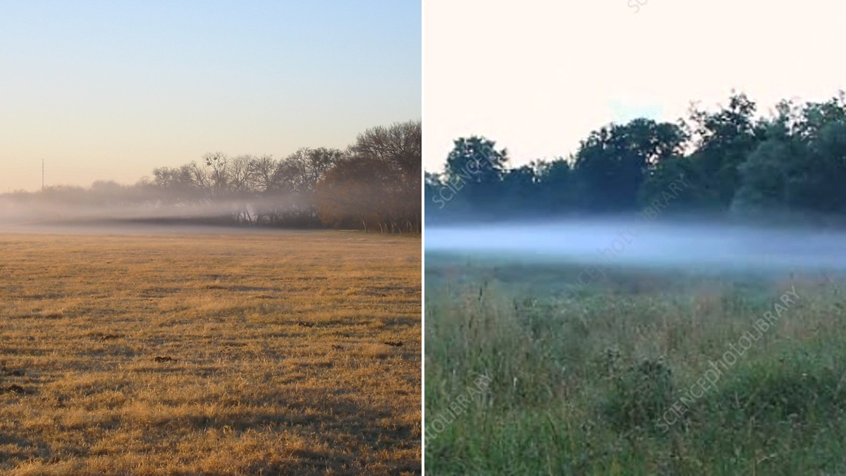
The accumulation of moisture near the surface, combined with the cooling effect beneath the inversion, can lead to the formation of radiation fog or low stratus clouds. These conditions can persist for extended periods until the inversion breaks up, typically by solar heating during the day or strong winds.
Wind Shear and Low-Level Jets
Inversions can also be associated with significant wind shear, especially near the surface. As the ground cools, winds at higher altitudes can be substantially different from those near the surface. In some cases, a low-level jet stream can form within or just above the inversion layer.
Turbulence and Mountain Waves
While the air within an inversion is typically stable, turbulent conditions can arise, particularly when wind flows over terrain. Mountain waves can form and propagate upwards, potentially causing significant turbulence for aircraft flying in the vicinity.
Icing and Freezing Rain
In winter, inversions can set the stage for icing conditions. If precipitation falls from a warmer layer above into a sub-freezing layer near the surface, it can lead to freezing rain or freezing drizzle. This is a critical hazard for aviation.
Why Pilots Should Care About Temperature Inversions
For pilots, understanding temperature inversions occur when warmer air traps cooler air beneath is not just an academic exercise; it is a matter of safety and operational efficiency. Inversions can present a variety of challenges that affect aircraft performance and flight safety.
Aircraft Performance Surprises
Warm air is less dense than cold air. During an inversion, the temperature near the ground can be significantly warmer than standard, especially at higher altitudes where density altitude is a concern. This higher density altitude reduces engine performance, decreases propeller efficiency, and increases takeoff and landing roll distances.
Takeoff and Landing Low-Level Wind Shear
The sharp contrast in wind speed and direction often found within or near an inversion layer can create hazardous low-level wind shear (LLWS). This can lead to sudden changes in airspeed and altitude during critical phases of flight, such as takeoff and landing, increasing the risk of an accident.
Visibility Challenges
As mentioned earlier, inversions trap pollutants and moisture near the surface, leading to reduced visibility due to haze, fog, or low stratus clouds. This can be particularly problematic in urban areas or during periods of stagnant air. Pilots may encounter clear skies above the inversion layer while being unable to see through the obscured conditions below.
Hidden Turbulence Zones
While the air within a strong inversion is stable, the boundary between the warm and cool air can be a zone of significant turbulence. Aircraft crossing this boundary may experience unexpected bumps and changes in attitude.
Icing Encounters
The risk of encountering icing conditions, particularly freezing rain, is elevated during winter inversions. Pilots must be vigilant in monitoring forecasts and conditions to avoid areas where supercooled water droplets can freeze on aircraft surfaces, compromising aerodynamics and control.
Detecting and Forecasting Temperature Inversions
Accurate detection and forecasting of temperature inversion types are crucial for aviation operations. Several tools and indicators can aid pilots in this regard.
Skew-T Log-P Soundings
Meteorological soundings, particularly Skew-T Log-P diagrams, provide detailed vertical profiles of temperature, humidity, and wind. A temperature inversion is clearly indicated by a temperature trace that increases with altitude over a specific layer. A right-turning trace on a Skew-T is a strong indicator.
Forecast Products
Standard aviation weather products such as METARs (Meteorological Aerodrome Report) and TAFs (Terminal Aerodrome Forecasts) often contain clues about inversions, such as fog, low stratus, or specific wind shear warnings. Numerical weather prediction models also provide forecasts for inversion layers.
Visual In-Flight Indicators
Pilots can sometimes observe indirect signs of an inversion in flight. These may include a distinct band of haze or smog trapped below a clear layer, flat tops on cumulus clouds (indicating a capping inversion), or abrupt changes in wind speed and direction upon climbing through a specific altitude.
Operational Strategies For Pilots
Armed with knowledge about inversions, pilots can implement effective strategies to mitigate the associated risks.
Departure and Climb Techniques
When departing into or near an inversion, pilots should be prepared for potential performance reductions and wind shear. Thoroughly review the aircraft's performance charts for the expected temperature and density altitude. Execute departures with appropriate control inputs to manage any unexpected wind changes.
Approach and Landing Adjustments
During approach and landing, anticipate potential wind shear, especially in the final stages of descent. Maintain awareness of visibility limitations. If icing is a concern, have a strategy for managing it, potentially including diverting to an airport with better conditions.
VFR Navigation Tips
For Visual Flight Rules (VFR) operations, staying below a persistent inversion can mean flying in poor visibility. Pilots should assess whether conditions warrant continuing the flight under VFR or if Instrument Flight Rules (IFR) are necessary. Sometimes, climbing above the inversion offers a clear route, but the associated performance impacts must be considered.
Mountain and High-Desert Operations
In mountainous and high-desert regions, inversions are common and can be particularly hazardous. Cold-pool inversions in valleys can lead to extreme density altitude effects and trapped pollutants. Pilots flying in these areas need to be extra diligent in their preflight planning and in-flight monitoring.
IFR and Icing Mitigation
For Instrument Flight Rules (IFR) flights, maintaining situational awareness of inversion layers is critical for avoiding icing conditions. Utilizing onboard weather radar and accurate forecasts, pilots can plan routes to minimize time spent in potential icing environments. If unavoidable, employing appropriate anti-icing or de-icing procedures is paramount.
Myths and Facts About Temperature Inversions
Several misconceptions exist regarding temperature inversions. Debunking these myths is essential for accurate understanding and safe operations.
- Myth: Temperature inversions only happen in winter. Reality: Inversions can occur in any season, though they are more common and pronounced during colder months due to stronger radiational cooling.
- Myth: Inversions always mean smooth, stable flying conditions. Reality: While the air mass within an inversion is stable, the boundaries can be zones of significant turbulence and wind shear.
- Myth: Just climb to escape icing. Reality: Climbing may lead you into warmer air, but it can also increase density altitude and worsen performance. Furthermore, the warmer layer aloft might also contain icing conditions.
- Myth: You can easily detect inversions visually from the cockpit. Reality: While haze bands or flat cloud tops can be indicators, subtle inversions are not always visually apparent and often require forecast data or performance anomalies for detection.
Navigating the Skies Safely Through Inversions
The case of Delta Flight 191 in 1985 serves as a stark reminder of the dangers associated with wind shear, which can be exacerbated by inversions. Understanding the science behind temperature inversion layer phenomena and applying proactive strategies are fundamental to safe flight operations. By meticulously analyzing weather data, utilizing available forecasting tools, and remaining vigilant for in-flight indicators, pilots can effectively navigate the challenges posed by temperature inversions, ensuring a safer journey for themselves and their passengers.
The ability to anticipate and react to the conditions presented by temperature inversions occur when warmer air traps cooler air beneath is a hallmark of a skilled and safety-conscious pilot. Continuous learning and adaptation to meteorological conditions are paramount in the dynamic world of aviation.
 21/07/2026