Stratocumulus Clouds: Understanding Low-Level Cloud Formations
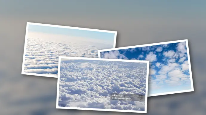
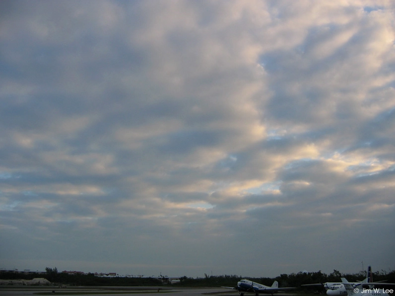
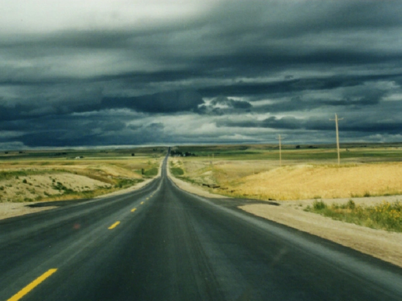
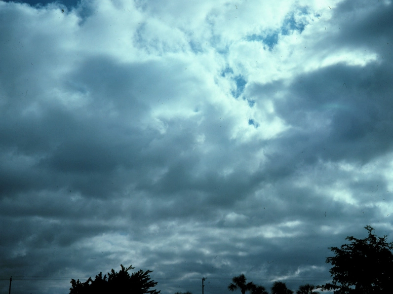
Stratocumulus clouds are a common sight in our skies, often appearing as low, lumpy, and gray formations. They can spread out across the horizon or arrange themselves in distinct rows, creating interesting patterns. While generally associated with fair weather, they can sometimes produce light rain, typically in the form of drizzle. Understanding the nuances of stratocumulus clouds is key to better weather observation.
Identifying Stratocumulus Clouds
Distinguishing stratocumulus clouds from other cloud types, like altocumulus, can be done with a simple visual test. Hold your hand up at arm's length towards the cloud formation. If the individual cloud elements appear to be about the size of your fist, it is likely stratocumulus. This practical method helps observers quickly classify these common cloud types.
Formation and Atmospheric Conditions
Stratocumulus clouds (hybrids of layered stratus and cellular cumulus) form when the atmosphere experiences both convective and advective forces simultaneously. They often develop in a shallow layer of unstable air near the surface, which is then capped by a layer of stable air above. This atmospheric setup is crucial for their development and persistence.
Geographic and Seasonal Occurrence
Stratocumulus clouds are frequently observed in specific geographic regions, particularly along coastlines and within valleys. They are also common where cold air masses pass over warmer bodies of water, such as near the Great Lakes during winter. Their presence can also signify the approach of cold fronts, often being the final cloud type observed before skies clear after a large weather system.
Stratocumulus Clouds in Weather Systems
The appearance of stratocumulus clouds can provide valuable insights into current and approaching weather conditions. When associated with a large weather system, they frequently signal the end of precipitation and the onset of clearer skies.
Stratocumulus vs. Cumulus
While both are low-level clouds, stratocumulus clouds differ from cumulus clouds in their structure and appearance. Stratocumulus clouds exist in a relatively flat, continuous layer, though they have distinct individual elements. Cumulus clouds, in contrast, are typically more detached, puffy, and vertically developed.
Analyzing Stratocumulus Clouds with Satellite Imagery
Satellite imagery provides another method for identifying and analyzing stratocumulus clouds. Visible images, which use reflected sunlight, and infrared (IR) images, which measure thermal energy, offer complementary perspectives. By comparing these different image types, meteorologists can gain a comprehensive understanding of cloud cover and atmospheric conditions.

The depth of the moist air at low levels can often be inferred from the extent of stratocumulus cloud cover. Furthermore, observing the speed at which these cloud elements move can provide an indication of the strength of the low-level jet stream.
Further Cloud Identification Resources
For those interested in delving deeper into cloud identification, various resources are available. Many meteorological organizations offer comprehensive guides and visual aids. You can search for specific cloud types or browse alphabetically to expand your knowledge of atmospheric phenomena.
Conclusion: The Significance of Stratocumulus
Stratocumulus clouds are more than just a visual element in the sky; they are indicators of atmospheric conditions and play a role in local weather patterns. By understanding their characteristics, formation, and how to identify them, we can gain a greater appreciation for the dynamic nature of our atmosphere. Whether observing them from the ground or through satellite imagery, stratocumulus clouds offer continuous learning opportunities for weather enthusiasts and scientists alike.
Comments (0)
No comments yet. Be the first to share your thoughts!
Leave a Reply
Your email address will not be published. Required fields are marked *