Understanding Squall Lines: Structure, Formation, and Hazards
The Nature of Squall Lines and Associated Phenomena
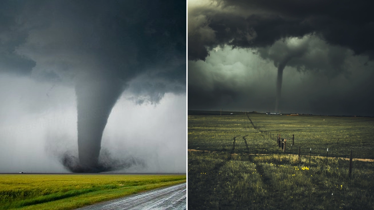
A squall line is a meteorological term that describes a linearly-oriented zone of convection, most commonly thunderstorms. These phenomena are frequently observed across the central and eastern United States, particularly during the dynamic spring season. Often associated with squall lines are phenomena like bow echoes, which are distinct arched or bowed-out segments of a thunderstorm line. These, along with line-normal wind gusts, fall under the broader classification of Quasi-Linear Convective Systems (QLCS). Bow echoes are particularly notable for generating significant straight-line wind damage at the surface, accounting for a substantial portion of damage attributed to non-tornadic convective winds. While less common, transient tornadoes can also manifest within squall lines.
Formation and Atmospheric Conditions for Squall Lines
The formation of squall lines is typically linked to specific atmospheric conditions that promote deep convection. They generally develop along or ahead of boundaries such as cold fronts and drylines. These environments require instability, where initially lifted air parcels continue to rise due to positive buoyancy. This lifting, often initiated by a frontal system or other lifting mechanism, leads to condensation of water vapor. The release of latent heat during this process further fuels the updraft, causing the rising air to become less dense than its surroundings and accelerate upwards, sometimes exceeding speeds of 30 miles per hour. The process involves warm, moist air rising, forming clouds, and potentially leading to heavy rainfall and thunder.
Structure and Dynamics of a Squall Line
A well-formed squall line exhibits a distinct structure that can be visualized through schematics derived from observations and meteorological models. Key features include towering cumulonimbus clouds, often displaying overshooting tops and characteristic anvil shapes. A critical element is the gust front, a boundary along which outflow air from the thunderstorms meets the surrounding environment. This outflow, composed of cool air descending from the storms, spreads horizontally and can act like a mini cold front, potentially triggering new storm development. The surface winds behind the gust front are significantly enhanced, a direct result of the storm's downdraft. This outward spread of cool air is a defining characteristic of the gust front's formation.
The Impact and Hazards of Squall Lines
Squall lines are capable of producing a range of severe weather phenomena. Their extensive length, sometimes spanning hundreds of miles, allows them to affect multiple states simultaneously. Coupled with their rapid movement, often exceeding 60 mph, they pose a significant threat. The primary hazards include torrential rainfall, which can lead to flash flooding, and damaging straight-line winds. These winds can cause considerable structural damage, comparable to that of weak tornadoes. Large hail is also a common occurrence, and the thunderstorms within squall lines are typically accompanied by frequent lightning. The rapid propagation and advection processes inherent in squall line movement contribute to their sustained intensity and potential for widespread impact.
Understanding Bow Echoes and Wind Damage
Bow echoes are a specific type of QLCS characterized by their bowed or arched shape. This structure is indicative of a strong, downwind-moving line segment that can generate intense straight-line winds. The rear-inflow jet, a crucial component of bow echo dynamics, transports cooler, denser air from higher altitudes into the storm's rear. This descending air accelerates near the surface, resulting in powerful outflow winds. These winds are responsible for much of the straight-line wind damage observed, often impacting areas in a divergent pattern. Understanding the structure of these storms, including how wind shear can tilt thunderstorms and separate updrafts from downdrafts, is key to predicting their intensity and potential for damage.
Trailing Stratiform Precipitation
Beyond the initial intense convective activity, squall lines are often followed by a broad area of stratiform precipitation. This occurs in the wake of the convective line, where melting of ice particles and evaporative cooling can lead to more widespread, less intense rainfall. This trailing stratiform rain can persist for extended periods, contributing significantly to the overall precipitation totals associated with a squall line event.
Mitigation and Preparedness for Squall Line Events
Given the significant hazards posed by squall lines, preparedness is essential. Staying informed about weather forecasts and warnings issued by meteorological services is paramount. Understanding the specific threats, such as damaging winds, hail, heavy rainfall, and the potential for tornadoes, allows individuals and communities to take appropriate precautions. This includes securing outdoor objects, having emergency supplies ready, and knowing safe places to shelter during severe weather. The rapid nature of squall line development necessitates timely warnings and prompt action from the public.
Conclusion: The Power and Complexity of Squall Lines
Squall lines, along with associated phenomena like bow echoes and QLCS, represent some of the most dynamic and potentially hazardous weather systems. Their formation is rooted in complex atmospheric processes involving instability, moisture, and lifting mechanisms. The resulting structure, characterized by intense convection and powerful outflow boundaries, can lead to widespread severe weather. Continuous advancements in meteorological forecasting and modeling aid in predicting these events, enhancing our ability to prepare for and mitigate their impact. Understanding the meteorology behind squall line storms is vital for safety and preparedness.
 21/07/2026