Understanding Cumulus Clouds: Formation, Types, and Significance
The Essence of Cumulus Clouds
Cumulus clouds are a familiar sight in the sky, often described as puffy, white, and resembling heaps or mountains. Their name originates from the Latin word 'cumulus,' meaning 'heap' or 'pile.' These clouds are a fundamental component of Earth's weather systems, playing a crucial role in the water cycle and atmospheric dynamics. Understanding cumulus clouds provides a gateway to comprehending broader meteorological phenomena.
Formation and Characteristics of Cumulus Clouds
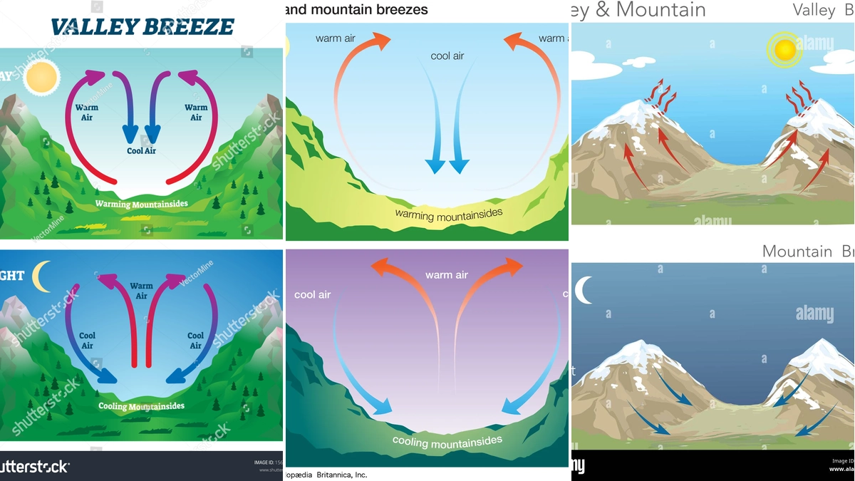
The formation of cumulus clouds is a captivating process rooted in basic thermodynamics and atmospheric physics. It begins with the sun heating the Earth's surface, causing moist air to warm and rise. As this warm, moist air ascends, it encounters lower atmospheric pressure, causing it to expand and cool. When the air cools to its dew point, the water vapor within it condenses onto tiny airborne particles, known as condensation nuclei. This condensation process forms visible water droplets or ice crystals, which aggregate to create the distinct puffy shapes of cumulus clouds.
Cumulus clouds typically form at altitudes below 2 kilometers (approximately 1 mile) and are composed primarily of water droplets. Their characteristic flat bases mark the altitude at which condensation begins. While often associated with fair weather, their development is a dynamic process that can evolve significantly.
Exploring Different Types of Cumulus Clouds
Cumulus clouds are not a monolithic entity; they exhibit a variety of forms, each with specific characteristics and implications for weather. These classifications help meteorologists and observers better understand atmospheric conditions.
Cumulus Humilis
Often referred to as 'fair-weather cumulus,' these clouds are typically small and horizontally flattened. They indicate stable atmospheric conditions and are generally associated with pleasant weather. Their development is limited due to the weak updrafts in the atmosphere.
Cumulus Mediocris
These are a more developed form of cumulus clouds, exhibiting moderate vertical growth. They have a more pronounced puffy appearance than cumulus humilis and suggest slightly more atmospheric instability. Cumulus mediocris can sometimes be a precursor to further vertical development.
Cumulus Congestus
Also known as towering cumulus, these clouds show significant vertical development, often resembling cauliflower. They indicate strong updrafts and considerable atmospheric instability. Cumulus congestus clouds can produce brief, localized showers and are often precursors to cumulonimbus (thunderstorm) clouds.
Cumulus Fractus
These are irregularly shaped, ragged cloud fragments. They often appear beneath larger cumulus or cumulonimbus clouds, typically associated with precipitation that is evaporating as it falls (virga) or has reached the ground. Cumulus fractus signify turbulent atmospheric conditions, particularly near the surface.
Related Meteorological Entities
Beyond the basic cumulus cloud types, related terms in meteorology offer further insight:
- Cumulus oophorus: This term refers to a small cumulus cloud formation that may appear as a single rounded mass or in a cluster, often associated with the release of an egg in biological contexts, but in meteorology, it can describe a specific, isolated cloud structure.
The Role of Cumulus Clouds in Weather Systems
Cumulus clouds are more than just picturesque sky features; they are integral to weather patterns. Their formation and development are indicators of atmospheric stability and moisture content. While cumulus humilis typically signals fair weather, the progression to cumulus congestus can indicate developing instability and the potential for showers or even thunderstorms.
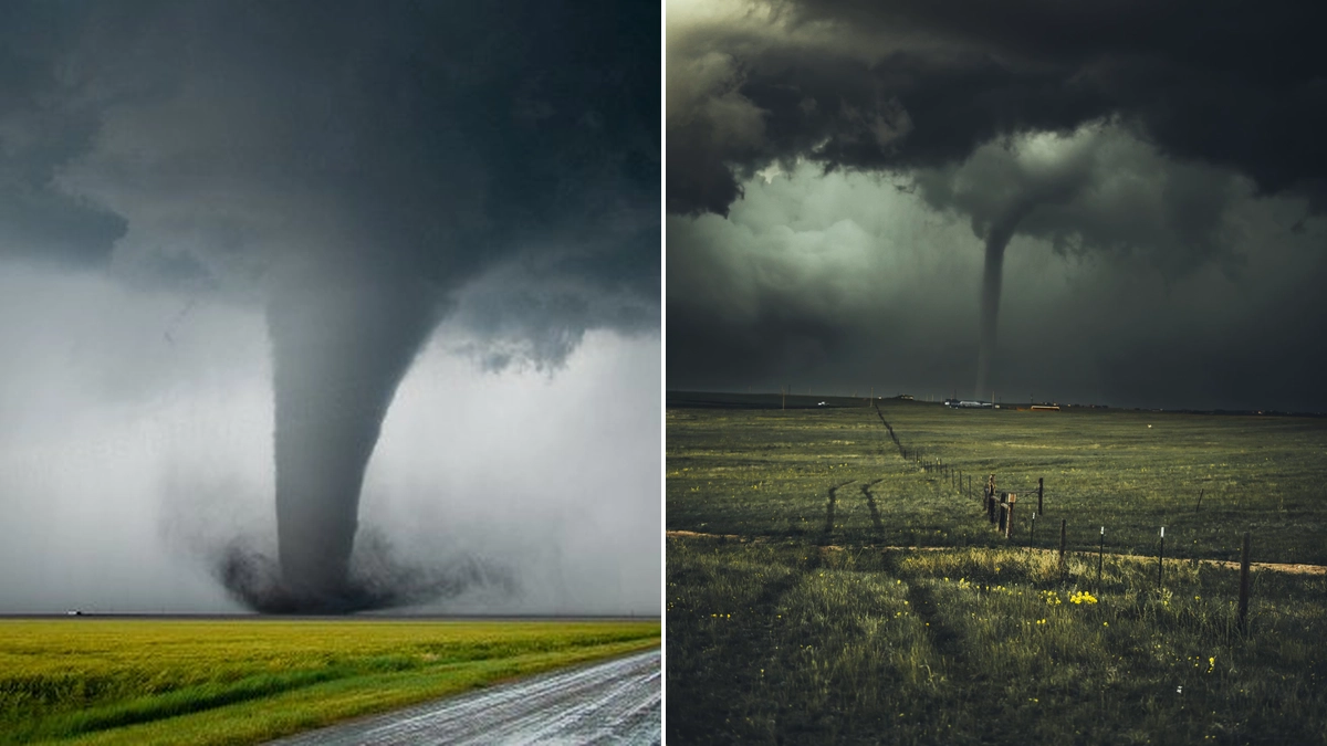
The transformation from cumulus clouds to cumulonimbus clouds is a significant meteorological event. Cumulonimbus clouds are storm clouds capable of producing heavy rain, lightning, thunder, hail, and even tornadoes. Therefore, observing the vertical growth and characteristics of cumulus clouds is crucial for short-term weather forecasting.
Cumulus Outdoors and Product Innovations
Interestingly, the name 'Cumulus' has also been adopted by brands, such as Cumulus Outdoor, known for their high-quality, lightweight outdoor gear. This highlights the association of the cloud's characteristics—lightness, reliability, and suitability for various conditions—with innovative product design. Companies like Cumulus leverage advanced materials and meticulous design to create products that perform exceptionally, mirroring the dynamic yet stable nature of their namesake.
Their commitment to using exceptional fabrics and responsible sourcing, like Polish down, reflects a dedication to quality and sustainability. This parallel between natural phenomena and human innovation underscores the enduring appeal and relevance of the 'cumulus' concept across different fields.
Conclusion: Appreciating the Dynamics of the Sky
Cumulus clouds, from the humble humilis to the towering congestus, are a constant reminder of the dynamic processes shaping our atmosphere. Their formation, variety, and potential for development into significant weather systems make them a subject of continuous fascination for meteorologists and sky-gazers alike. By understanding the fundamental characteristics of these clouds, we gain a deeper appreciation for the intricate workings of our planet's weather.
Whether observing them for their aesthetic beauty or their meteorological significance, cumulus clouds offer a visible connection to the powerful forces of nature. Continue to observe and learn about these fascinating atmospheric formations.

 21/07/2026