Understanding Altocumulus Standing Lenticular Clouds in New Mexico
Have you ever gazed at the winter sky and observed peculiar cloud formations that resemble "flying saucers" or "stacks of pancakes"? These striking visuals are often Altocumulus Standing Lenticular (ACSL) clouds, a captivating meteorological phenomenon primarily seen in regions like New Mexico. Understanding what causes these clouds and their implications is key to appreciating their unique presence in our atmosphere.
- Formation requires stable, fast-moving air forced over topographic barriers.
- They are associated with gravity waves in the atmosphere.
- Appear stationary despite high winds due to continuous formation and dissipation.
- Most common in winter and spring due to stronger upper-level winds.
The Science Behind Altocumulus Standing Lenticular Clouds
Altocumulus Standing Lenticular clouds, also known as Altocumulus Standing Lenticularis, form under specific atmospheric conditions. The process begins when stable, fast-moving air encounters a topographic barrier, such as a mountain range, oriented perpendicular to the wind flow. This obstruction forces the air upwards, creating a series of atmospheric waves, much like ripples on a pond after a pebble is thrown.
When there is sufficient moisture present at altitudes above the mountain peaks, clouds, specifically ACSL clouds, materialize within the crests of these mountain waves. The air rises in the crest, leading to condensation and cloud formation. Simultaneously, downwind of the crest, the air descends, causing evaporation and cloud dissipation. This continuous cycle of formation and dissipation at the wave crests gives the illusion that the clouds are stationary, even though the air mass is moving rapidly through them. This phenomenon is a clear indicator of mountain wave activity.
Prevalence and Seasonal Occurrence
ACSL clouds are most frequently observed during the winter and spring months. This is primarily because atmospheric conditions during these seasons often involve stronger and more consistent upper-level winds, which are crucial for generating significant mountain waves. The enhanced wind speeds at higher altitudes provide the necessary force to create the atmospheric disturbances that lead to the formation of these unique cloud structures.
Implications for Aviation and Surface Winds
While visually striking, the presence of Altocumulus Standing Lenticular clouds carries significant implications, particularly for aviation. ACSL clouds are a strong visual cue that a mountain wave exists. When aircraft encounter such waves, they can experience severe turbulence, posing a risk to flight safety. In situations where the air is too dry to form visible clouds, pilots and others might be unaware of the potentially hazardous mountain wave conditions. This makes ACSL clouds a critical visual warning system for the aviation community.
Furthermore, the atmospheric dynamics that create mountain waves can also lead to strong and gusty surface winds, especially in the lee of mountain barriers. This can affect ground transportation and outdoor activities. For instance, the winter of 2005-06 in New Mexico was characterized by strong, dry northwest winds aloft, which fostered significant mountain wave development and increased overall windiness across the region, impacting precipitation patterns.
Visual Variety of Altocumulus Formations
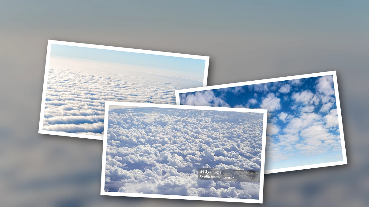
Altocumulus clouds encompass a variety of species and varieties, each with distinct visual characteristics. Altocumulus stratiformis clouds, for instance, appear as a widespread layer or patch. Altocumulus lenticularis, as discussed, are lens-shaped and often form over mountains. Altocumulus castellanus develop vertically, resembling turrets, and can indicate atmospheric instability.
Other notable forms include:
- Altocumulus undulatus: Characterized by wave-like patterns.
- Altocumulus floccus: Appear as small, ragged tufts.
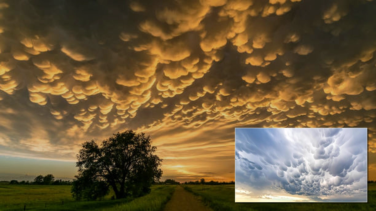
- Altocumulus mamma: Feature pouch-like protrusions hanging from the base.
The intricate patterns observed in altocumulus clouds, such as those seen in altocumulus stratiformis perlucidus undulatus or altocumulus stratiformis mamma, are a testament to the complex dynamics of our atmosphere.
Conclusion: A Striking Atmospheric Display
Altocumulus Standing Lenticular clouds are more than just a beautiful sight; they are indicators of powerful atmospheric forces at play. Their formation over topographic barriers, their apparent stationary nature, and their implications for aviation and surface winds highlight the intricate relationship between meteorology and geography. Whether referred to as "flying saucers" or "stacks of pancakes," these clouds offer a unique glimpse into the dynamic processes shaping our skies.
 21/07/2026