El Niño: Understanding Pacific Wind and Current Changes
The Master Weather-Maker: Understanding El Niño
Our planet is an intricate system, where events in one corner can ripple across the globe, significantly affecting life thousands of miles away. Among the most powerful forces driving these interconnected phenomena is El Niño. This naturally occurring climate pattern, characterized by fluctuations in ocean temperatures and atmospheric conditions across the equatorial Pacific, plays a critical role in shaping weather patterns worldwide.
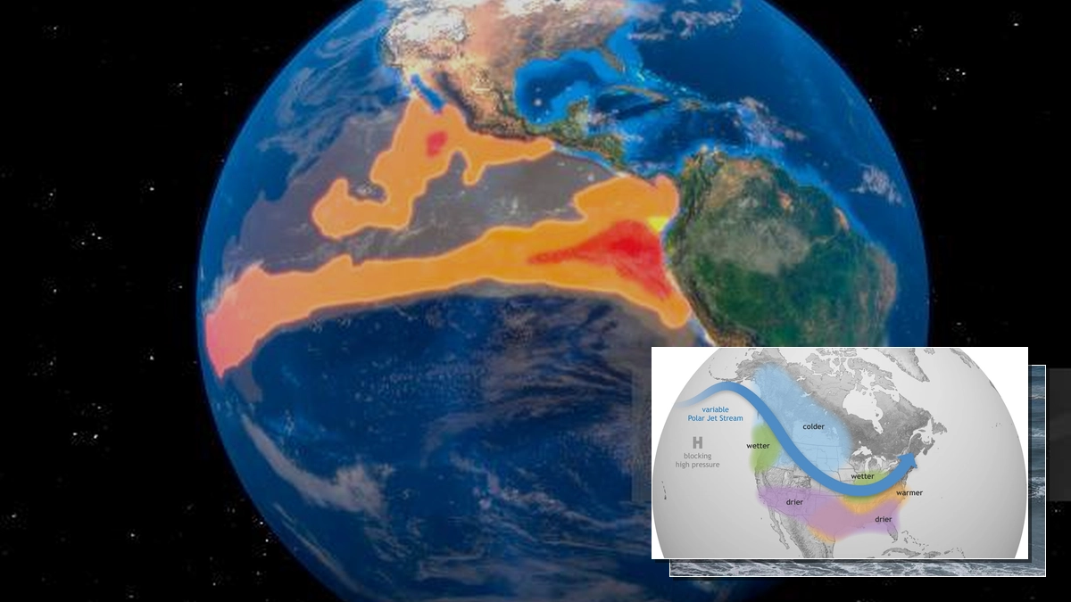
El Niño Overview: El Niño is the warm phase of the El Niño-Southern Oscillation (ENSO), marked by unusually warm surface temperatures in the central and eastern equatorial Pacific Ocean. These changes directly influence global wind and atmospheric circulation patterns, leading to significant weather shifts.
What is El Niño and How Does it Develop?
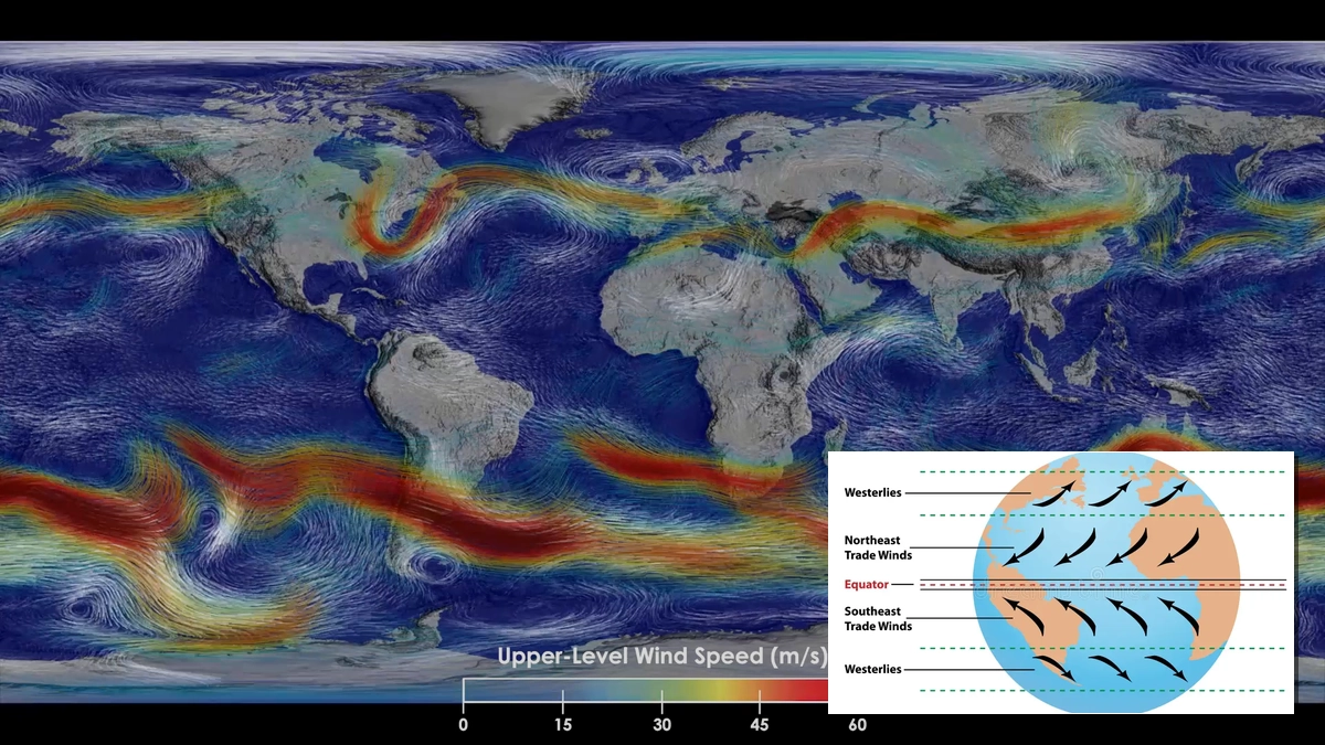
El Niño is more than just a warm current; it represents a complex interplay between the ocean and the atmosphere. Typically, easterly trade winds blow across the equatorial Pacific, pushing warm surface waters from the Americas toward Asia. This process also allows cooler, nutrient-rich waters to upwell along the west coast of South and Central America. However, during an El Niño event, these easterly trade winds weaken, and can even reverse into westerlies. This faltering of the winds allows vast quantities of warm water to slosh eastward towards the Americas. Concurrently, the upwelling of cooler waters is suppressed, leading to warmer-than-average sea surface temperatures in the central and eastern Pacific.
The name 'El Niño', meaning 'the Christ Child' in Spanish, was given by Peruvian fishermen who noticed this warm current and associated decline in fish catches, typically around Christmas. In contrast, La Niña, the cold phase of ENSO, is characterized by cooler-than-average sea surface temperatures and intensified easterly winds.
Global Impacts of El Niño Events
The redistribution of heat in the Pacific due to El Niño has far-reaching consequences for global weather. Changes in sea surface temperatures and wind patterns disrupt atmospheric circulation, including jet streams. This can lead to a cascade of effects:
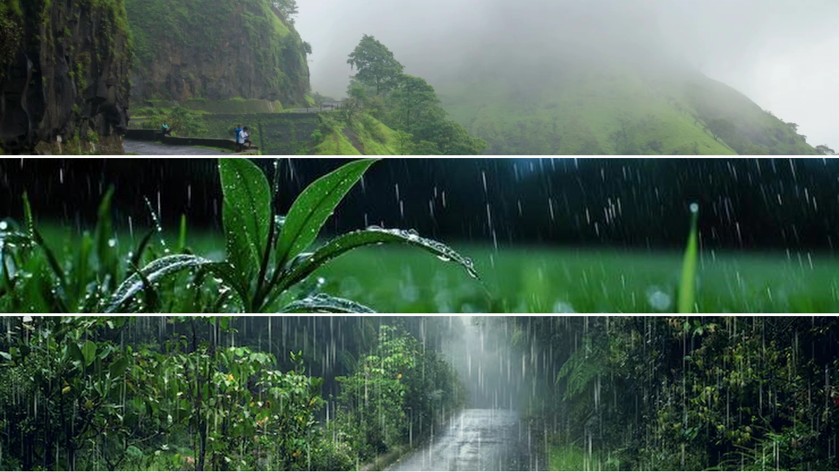
- Flooding and Drought: El Niño can cause floods in typically arid regions, such as the South American desert, while simultaneously triggering prolonged droughts in areas like Indonesia and India, impacting monsoon patterns. Dry regions can experience significantly increased rainfall during strong El Niño events.
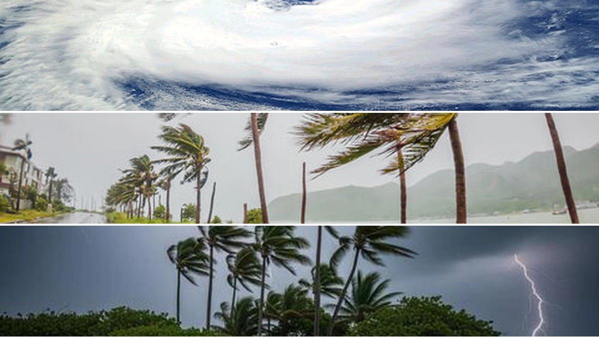
- Extreme Weather Events: Atmospheric circulation patterns that favor hurricanes and typhoons in the Pacific may be altered, potentially influencing their frequency and intensity.
- Marine Ecosystems: The shift in ocean temperatures and currents can devastate fish populations in some areas while allowing others to thrive and expand their territory.
- Regional Climate Shifts: El Niño often alters the Pacific jet stream, making it more persistent and bringing wetter conditions to the western United States and Mexico. Conversely, regions like the Brazilian Amazon and the northeastern United States may experience extended droughts.
The El Niño Southern Oscillation (ENSO) Cycle
El Niño and La Niña are the two opposite phases of a larger climate pattern known as the El Niño-Southern Oscillation (ENSO). ENSO represents a natural cycle of climate variability in the tropical Pacific. Between the extreme El Niño and La Niña phases lies a neutral state where ocean temperatures remain close to average. The transition between these phases typically occurs every two to seven years, with both El Niño and La Niña events generally beginning to develop between March and June and peaking between November and February.
The intensity, duration, and timing of an ENSO event, along with its interaction with other climate variability modes, determine the specific impacts experienced globally. While not all regions are affected equally, the strength of an ENSO event—whether weak, moderate, strong, or very strong—is a critical factor in the severity of its influence.
Predicting El Niño's Influence
Scientists utilize advanced seasonal forecast models to predict climate patterns one to six months in advance. By identifying trends in rainfall and drought conditions, these forecasts provide crucial early warning signals. This information is invaluable for planning in climate-sensitive sectors such as agriculture, water resource management, and disaster preparedness.
Navigating the Future with El Niño Knowledge
While the precise trigger for El Niño remains a scientific mystery, understanding its impacts and the ENSO cycle is crucial for global resilience. Continued research and improved forecasting models empower communities to better prepare for and mitigate the effects of these powerful climate phenomena. By studying El Niño, we gain a deeper appreciation for the interconnectedness of our planet's climate system and our own vulnerability and adaptability to its dynamic changes.
 20/07/2026