Cumulonimbus Clouds Understanding Their Formation and Impact
Cumulonimbus clouds stand as colossal, vertically developing giants in the atmosphere, often heralding significant weather events. These clouds are synonymous with thunderstorms and possess the potential to generate a dramatic array of phenomena, including heavy precipitation, lightning, and even tornadoes.
Understanding Cumulonimbus Cloud Formation and Characteristics
Cumulonimbus clouds, often abbreviated as Cb, are a distinct type of cloud formation characterized by their substantial vertical extent. Unlike their fair-weather cumulus counterparts, cumulonimbus clouds are fueled by vigorous convective updrafts, which can exceed 50 knots. This intense upward motion allows them to reach impressive altitudes, frequently extending to 39,000 feet (12,000 meters) and sometimes even higher.
The composition of these clouds varies with altitude. Lower levels typically consist of water droplets, while at higher elevations, where temperatures plummet well below freezing, ice crystals become dominant. This transformation in composition plays a role in the types of precipitation that can form within and beneath the cloud.
Furthermore, the appearance of a cumulonimbus cloud can provide clues to its potential. A cumulonimbus incus, for instance, is a mature storm cloud whose top has spread out into a characteristic anvil shape due to high-altitude winds. This anvil formation is a strong indicator of a well-developed thunderstorm capable of producing severe weather.
Associated Weather Phenomena
The sheer power of cumulonimbus clouds translates into some of the most dramatic and potentially hazardous weather events experienced on Earth. Their association with thunderstorms means they are the primary source of:
- Heavy Precipitation: Including intense rain, hail, and snow.
- Lightning: The electrical discharge within or between clouds, or between cloud and ground.
- Strong Winds: Including downbursts and gust fronts.
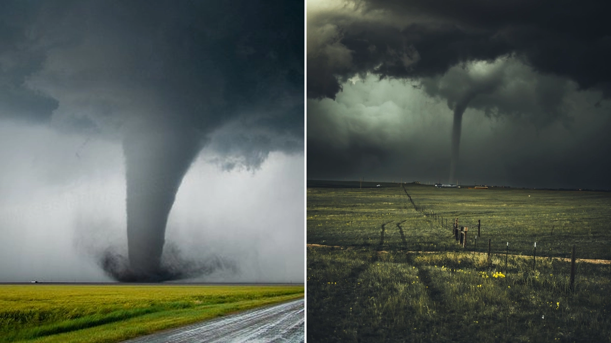
- Tornadoes: In the most severe cases, particularly with supercells.
A supercell, a particularly potent type of thunderstorm, is a large storm with deep rotating updrafts that can persist for several hours. Supercells are notorious for producing frequent lightning, large hail, damaging winds, and tornadoes, often developing during the afternoon and early evening when atmospheric heating is strongest.
Classifications of Cumulonimbus Clouds
While cumulonimbus is the overarching classification, meteorologists further refine these clouds based on their appearance, which can indicate their developmental stage and severity. Key species include:
- Cumulonimbus calvus: This type of cumulonimbus cloud has a puffy, cauliflower-like top, indicating that the updraft is still active and has not yet spread out into an anvil. The cloud is still smooth and shows no signs of fibrous or icy structure at its top.
- Cumulonimbus incus: As mentioned, this species features the distinct anvil shape at its top, signifying the cloud has reached a very high altitude and is spreading out due to strong upper-level winds. This often indicates a mature and potentially severe thunderstorm.
Understanding the cumulonimbus meaning in meteorological terms is crucial for forecasting and preparing for severe weather. The term itself, derived from Latin, signifies 'heap' (cumulo) and 'rain cloud' (nimbus), aptly describing its appearance and function.
Cumulonimbus Clouds and Climate
While individual cumulonimbus clouds are transient weather events, their prevalence and intensity can be influenced by broader climatic conditions. Climate change research is exploring how shifts in atmospheric stability and moisture content might affect the frequency and severity of these powerful storm systems. The potential for more intense cumulonimbus activity is a significant consideration in long-term climate projections.
Conclusion: Respecting the Power of Cumulonimbus
Cumulonimbus clouds are awe-inspiring phenomena that underscore the dynamic power of Earth's atmosphere. From their towering vertical growth to their capacity to unleash severe weather, they demand respect and understanding. By recognizing the characteristics of cumulonimbus capillatus and cumulonimbus calvus, and understanding the implications of the cumulonimbus incus, individuals can better prepare for and respond to the weather events they bring. Always stay informed about weather forecasts and heed warnings issued by meteorological authorities to ensure safety during periods of severe weather associated with these formidable clouds.

 21/07/2026