Cold Waves vs. Cold Snaps Understanding Extreme Weather Phenomena
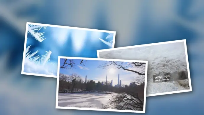
Winter invariably brings a spectrum of cold weather, but not all chilly days are created equal. While a typical cold day might simply necessitate an extra layer of clothing, a cold wave or cold snap demands more significant precautions. Understanding the nuances between these phenomena is crucial for effective preparation and mitigating their impacts. This article delves into the definitions, historical context, and evolving nature of extreme cold events.
Defining a Cold Day
A cold day is characterized by temperatures falling below the seasonal average for a specific location. In temperate regions, this might mean hovering around freezing point (0°C or 32°F). In areas accustomed to severe winters, the threshold for a 'cold day' is naturally lower. These events are often transient, caused by factors such as:
- Clear overnight skies promoting radiative cooling.
- Seasonal shifts aligning a region away from the sun's direct rays.
- Brief incursions of frigid air masses via cold fronts.
While cold days can be uncomfortable, they are generally expected and short-lived during winter months.
What Constitutes a Cold Wave and a Cold Snap?
A cold wave signifies a more intense and sustained period of frigid weather, marked by several key factors:
- Duration: Typically lasting three or more consecutive days with persistently low temperatures.
- Severity: Temperatures significantly below the seasonal and regional average.
- Geographic Scale: Often affecting large areas, encompassing multiple regions or even countries.
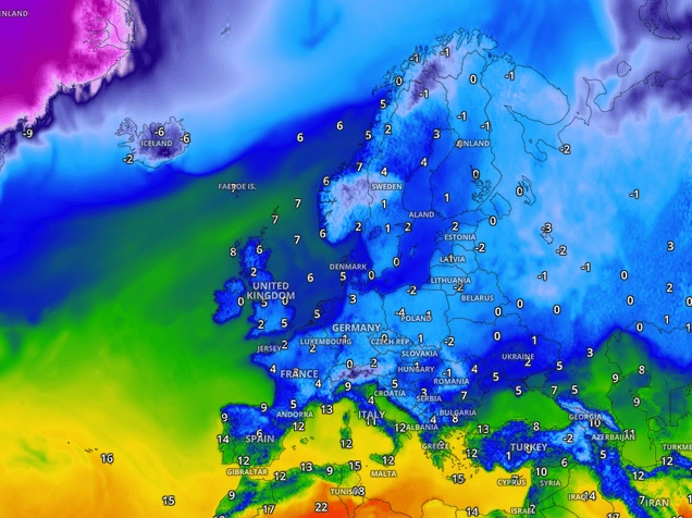
In the United States, a cold wave might manifest as a rapid, prolonged temperature drop over several days, frequently accompanied by strong winds. In Europe, it often involves the southward movement of Arctic air masses, leading to widespread frost and snow.
Cold snaps share similarities with cold waves but often differ in their duration and the intensity of temperature drops. While cold waves can be more extreme in overall impact, cold snaps are frequently characterized by more abrupt and severe temperature plunges. Furthermore, cold waves tend to cover larger geographical areas, whereas cold snaps can be more localized in their effect.
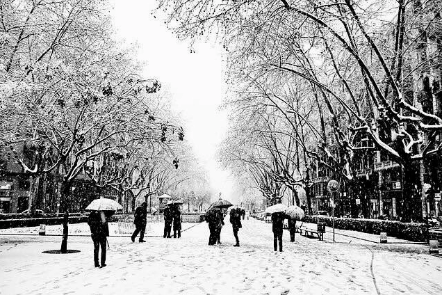
Historical Extreme Cold Waves
Examining past extreme cold events provides critical insights into their potential impact:
The 2009-2010 European Cold Wave
Considered one of the harshest in recent history, this event saw temperatures plunge to -20°C (-4°F) or lower across many parts of Europe. Weeks of snowfall disrupted transportation, leading to airport closures, train cancellations, and blocked roads. The consequences included over 1,000 fatalities, an energy crisis due to surging heating demands, and severe agricultural damage from the prolonged freeze.
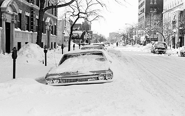
The 1978-1979 North American Cold Wave
This severe event impacted the eastern United States and parts of Canada, with temperatures plummeting to -40°F (-40°C) in some areas. Chicago recorded -17°F (-27°C), with wind chills making it feel even more extreme. The wave caused widespread infrastructure damage, including frozen pipes, extensive power outages, and significant disruptions.
Cold Snaps and Climate Change
Cold snaps, defined as short periods of unusually cold weather, have always been a feature of many climates, particularly in Canada. They pose risks to energy systems, transportation, and public health, especially for vulnerable populations. However, the character of these events is evolving within a warming climate.
Observations indicate that extreme cold events are becoming less severe, with minimum temperatures during cold snaps trending warmer over time. This shift is linked to broader climate change dynamics, including potential alterations in atmospheric circulation patterns like the weakening of the polar vortex. Understanding these changes is vital for effective adaptation strategies.
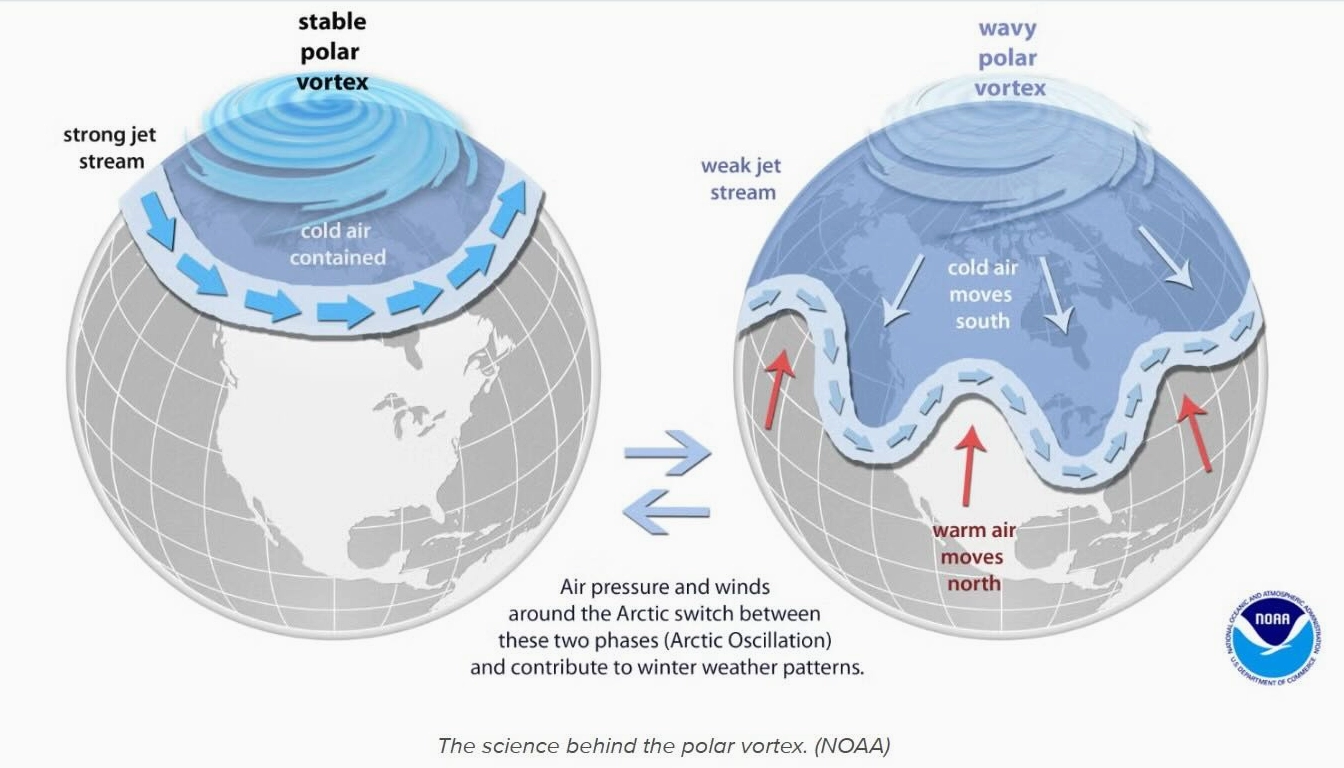
Tools and data available through platforms like ClimateData.ca can support planning and adaptation efforts in response to evolving weather patterns. Analyzing the differences between a cold wave vs cold snap is becoming increasingly important as climate science refines our understanding of these complex phenomena.
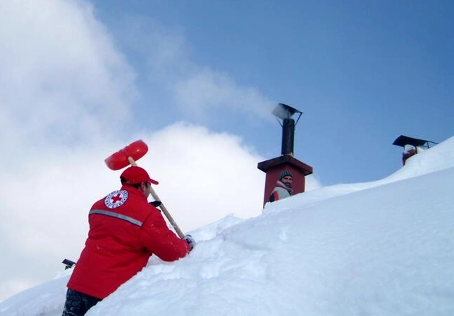
Preparing for Extreme Cold
Regardless of whether an event is classified as a cold wave or a cold snap, preparedness is key. Simple measures can significantly enhance safety and comfort during periods of extreme cold:
- Home Preparation: Ensure heating systems are serviced, insulate pipes, and seal drafts. Stock emergency supplies like non-perishable food, water, and flashlights.
- Personal Safety: Dress in multiple layers of warm clothing, wear hats and gloves, and stay hydrated. Limit outdoor exposure during the coldest periods.
- Community Awareness: Stay informed about weather alerts and check on vulnerable neighbors or relatives.
By understanding the characteristics of cold days, cold waves, and cold snaps, and by implementing practical preparedness measures, individuals and communities can better navigate the challenges posed by extreme winter weather.
Comments (1)
Sarah Jenkins
19:15:21 22-07-2026Leave a Reply
Your email address will not be published. Required fields are marked *