Altostratus Clouds A Comprehensive Guide
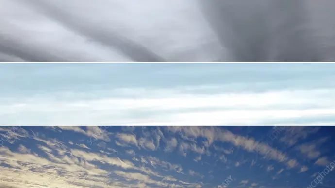
Altostratus clouds represent a significant category within the realm of meteorology, specifically concerning the classification and understanding of atmospheric phenomena. These mid-level clouds play a crucial role in weather prediction and offer distinct visual characteristics that set them apart from other cloud formations. Understanding altostratus clouds involves delving into their physical properties, their various types, and the weather patterns they often herald.
Key Characteristics of Altostratus Clouds:
- Altitude: Mid-level (2-7 km or 7,000-23,000 ft).
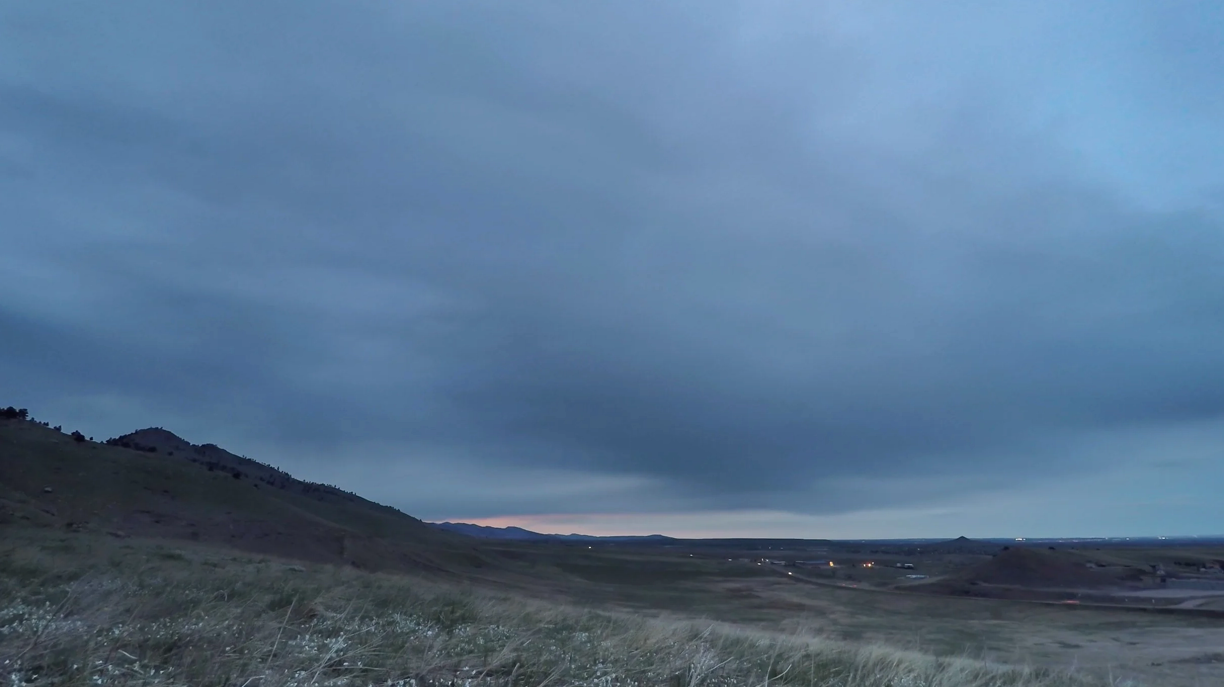
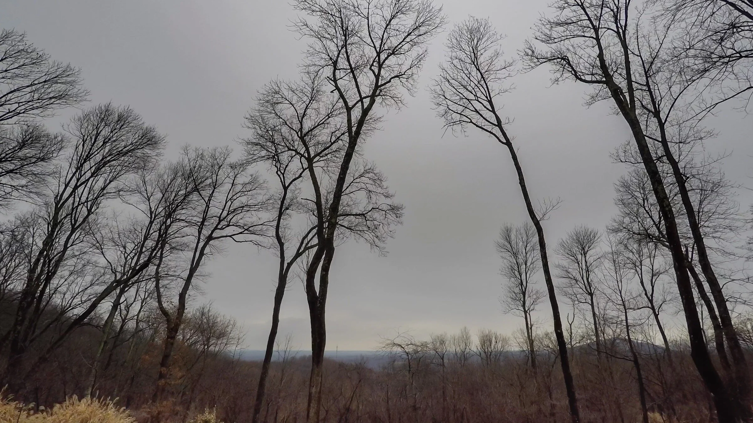
- Appearance: Gray or blue-gray sheets, often covering the entire sky.
- Sun/Moon Visibility: The sun or moon may be visible, appearing watery or fuzzy, as if seen through ground glass.
- Precipitation: Can produce light, continuous rain or snow. If precipitation reaches the ground as continuous rain or snow, the cloud is often classified as nimbostratus.
- Varieties: Include opacus (opaque) and translucidus (translucent).
Understanding Altostratus Clouds
Altostratus clouds are defined as a sheet of featureless, gray clouds situated in the middle cloud level, capable of masking the sun. Unlike their cumulus counterparts, altostratus clouds are often characterized by their uniformity. They do not possess associated cloud species but do exhibit several cloud varieties that aid in their identification. The term 'altostratus' itself derives from 'alto-' meaning high, and 'stratus' meaning layer, reflecting their mid-level, layered nature.
Distinguishing Altostratus Varieties
The distinction between different types of altostratus clouds primarily lies in their opacity and how they interact with sunlight. This differentiation is crucial for accurate weather observation and forecasting.
Altostratus Opacus
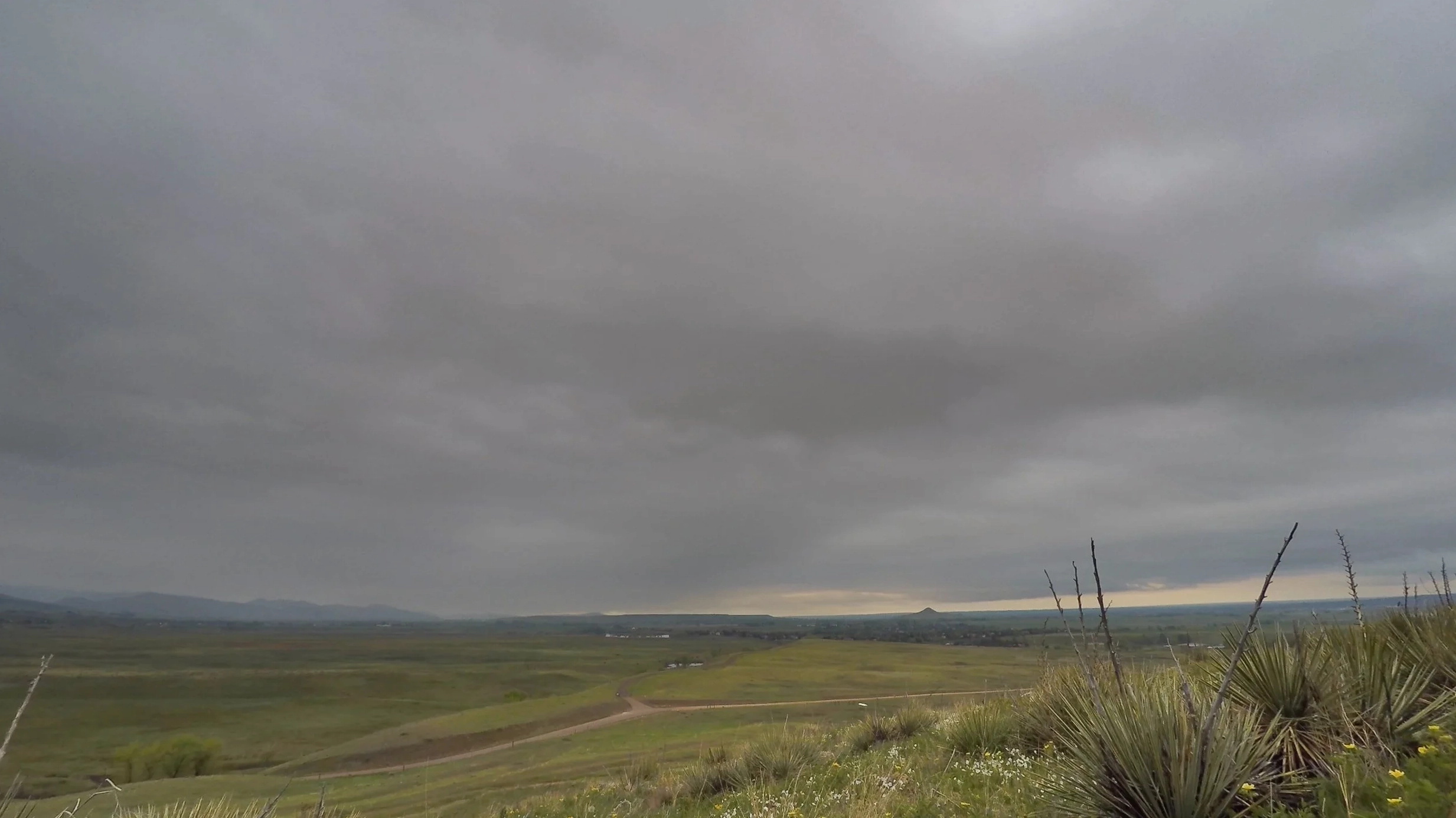
When an altostratus cloud layer is dense and opaque, completely obscuring the sun's position, it is classified as altostratus opacus (As op). This variety presents a uniform gray or bluish-gray appearance across the sky. The thickness of altostratus opacus clouds often suggests a greater likelihood of precipitation, though it may not always reach the ground.
Altostratus Translucidus
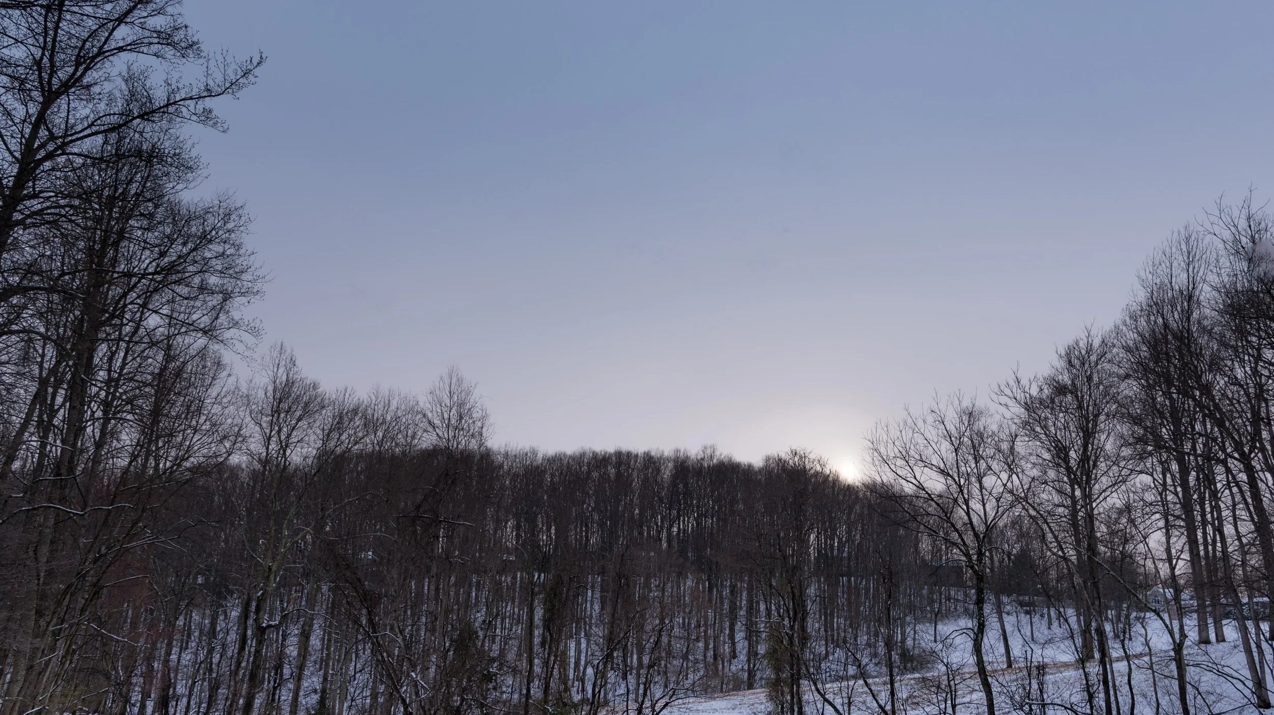
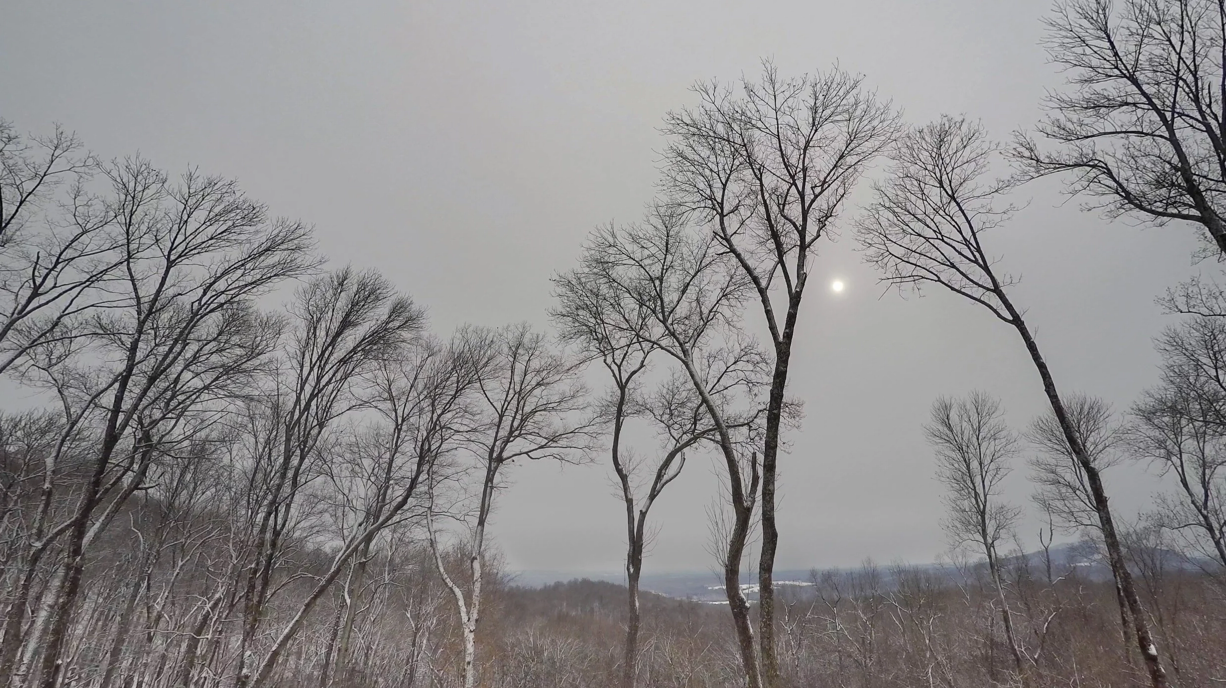
In contrast, altostratus translucidus (As tr) clouds are thinner and allow sunlight to pass through. This creates a characteristic 'frosted glass' appearance, where the sun or moon is visible but appears diffused and watery. This variety indicates a less substantial cloud layer, and precipitation is less common or lighter.

Altostratus Undulatus
The variety altostratus undulatus (As un) refers to altostratus clouds that display a wavy or undulating pattern. This pattern can appear in both opacus and translucidus forms and is a result of atmospheric wave motions within the cloud layer. While visually distinct, it does not fundamentally alter the cloud's precipitation potential or general characteristics.

Distinguishing Altostratus from Stratus Clouds
It is important to differentiate altostratus clouds from other layered clouds, particularly stratus clouds. A key difference lies in their altitude. Stratus clouds are low-level clouds, appearing as flat, featureless gray layers that can produce drizzle. Altostratus clouds, being mid-level, are higher in the atmosphere and typically do not produce drizzle but can lead to more significant precipitation if they develop into nimbostratus.
Formation and Weather Implications
Altostratus clouds typically form when a large mass of warm, moist air is gently lifted to higher altitudes, where it cools and condenses. This widespread lifting is often associated with approaching warm fronts. The presence of altostratus clouds frequently signals that a storm system with continuous rain or snow might be approaching. While altostratus itself might only produce light precipitation, its development into nimbostratus signifies more prolonged and potentially heavier weather events.
The altostratus pronunciation is straightforward: 'al-toh-STRAH-tus'. This phonetic understanding is helpful for clear communication in meteorological contexts. In summary, altostratus clouds are essential indicators of upcoming weather changes, characterized by their mid-level gray appearance and their potential to precede more significant weather systems.
Observing Altostratus Clouds for Weather Prediction
Accurate observation of altostratus clouds can provide valuable insights into impending weather conditions. Their gradual thickening and lowering often indicate an approaching warm front, suggesting that precipitation is likely within the next several hours. Conversely, if altostratus clouds begin to thin and dissipate, it may signal improving weather conditions.
Comments (0)
No comments yet. Be the first to share your thoughts!
Leave a Reply
Your email address will not be published. Required fields are marked *